Use Case 5: Improving Soil Management to Reverse Negative Long-Term Trends in Soil Organic Matter in Serbia
Overview:
Agricultural practices in Serbia, particularly in the Vojvodina region, have led to significant declines in soil organic content (SOC) due to intensive farming and mineral fertiliser use. Currently, only 1% of Serbian soils have more than 5% humus. Our use case aims to reverse this trend by implementing advanced soil management techniques. It involves mapping soil health parameters to inform practices for optimising fertiliser application and seeding, contributing to better soil health and farm profitability.
Challenges:
- Intensive historical soil management practices: have led to diminishing soil health.
- Soil variability: High variability in soil properties across large plots results in non-optimal yields from uniform management practices.
- Extreme weather conditions: The recent decade has seen extreme weather, affecting SOC and complicating soil management.
- Lack of updated technology: Need for integration of modern sensors and technologies for accurate soil mapping and analysis.
Smart Farming Applications involved:
- Variable-rate macronutrient fertilisation
- Variable-rate seeding
Expected Outcomes:
- Enhanced soil management: Improved nutrient availability and better overall soil health through precise soil mapping and targeted fertilisation.
- Economic benefits: Increased crop yields and reduced costs associated with fertiliser application and soil testing.
- Increased adoption: Greater implementation of variable-rate technologies among Serbian farmers, leading to more sustainable farming practices.
- Improved soil health: Increased SOC levels and overall soil fertility through refined soil management techniques.
Updates
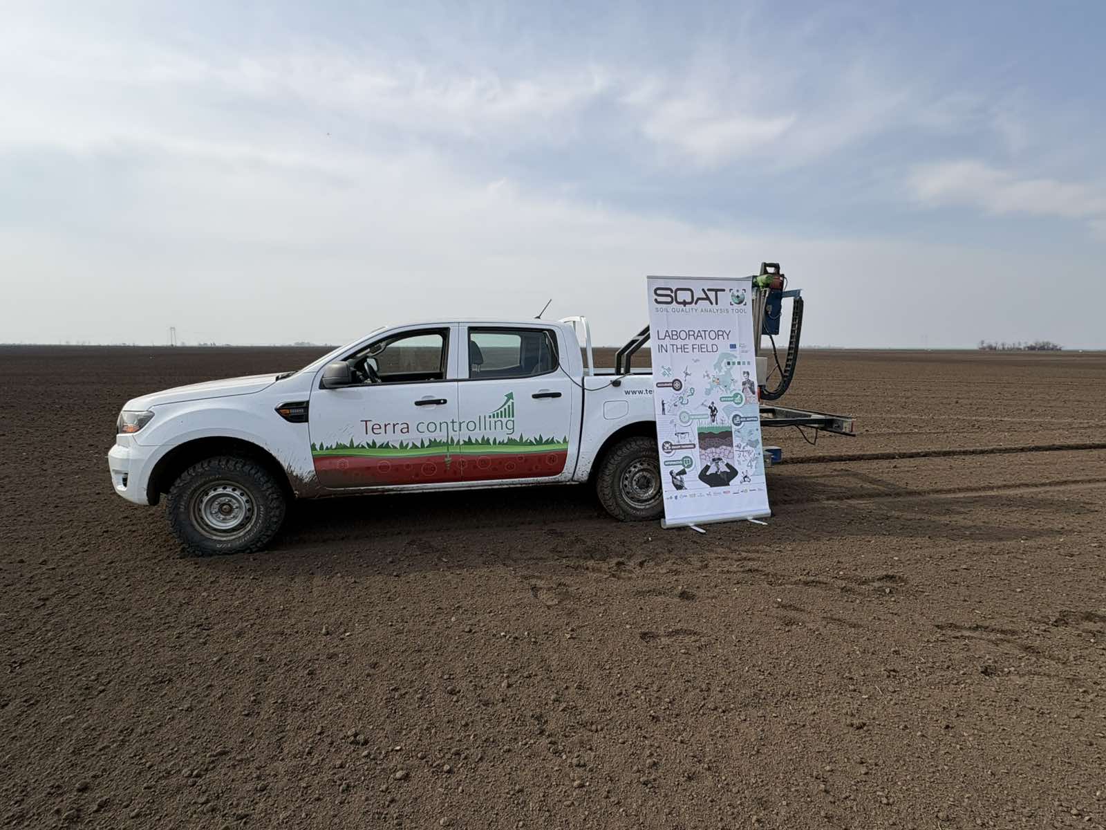
In Serbia, SQAT partner Terra TMD is demonstrating how satellite data, targeted soil sampling and precision agriculture can help farmers improve soil management while reducing unnecessary fertilizer use.
From satellite data to field decisions
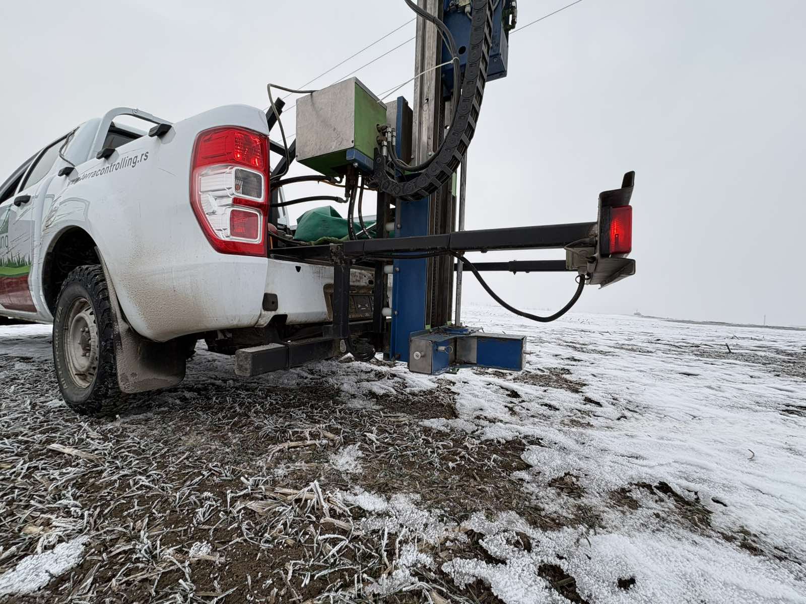
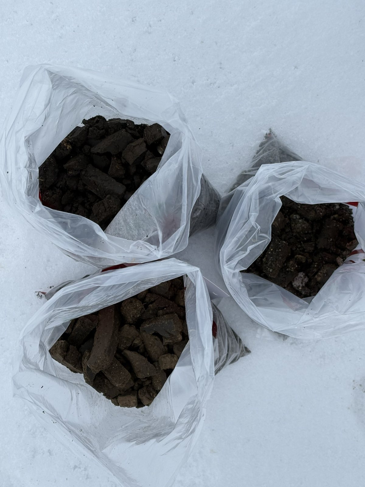
Throughout 2025, Terra TMD carried out extensive field activities across different soil types and production systems. The work began with nitrogen sampling in January and continued throughout the year with comprehensive laboratory analyses of nitrogen, phosphorus, potassium, pH and organic matter.
Management zones were created using a multi-year approach that combined the Bare Soil Index (BSI) with four vegetation indices derived from Copernicus satellite imagery. These zones were then used to determine the most appropriate sampling locations and optimize sampling density.
To further strengthen the methodology, Terra TMD collaborated with AeroVision to validate two independent approaches for management zone delineation. The comparison of different zoning methods and sampling strategies contributes to the development of robust, standardized workflows for future automated soil assessment within SQAT.
Delivering value to farmers
The project has already produced tangible benefits for participating farmers.
Following laboratory soil analysis, several farmers reduced their planned nitrogen fertilizer applications after testing confirmed that maximum application rates were unnecessary. This resulted in measurable cost savings while maintaining efficient nutrient management.
In the Srem region, farmers implemented zone-based fertilization for seed wheat production using existing machinery adapted to management zones. Meanwhile, one farmer in the Bačka region invested in variable-rate application technology and has already begun applying fertilizer based on SQAT-generated management zones.
Yield data are currently being collected to further evaluate the long-term benefits of these precision management practices.
Sharing knowledge and validating the science
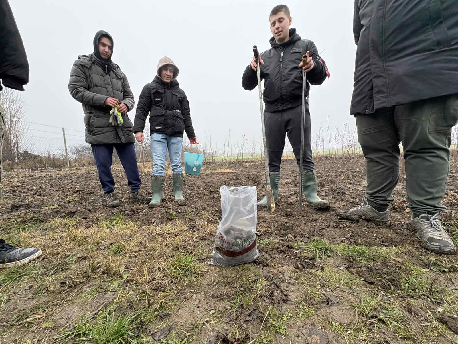
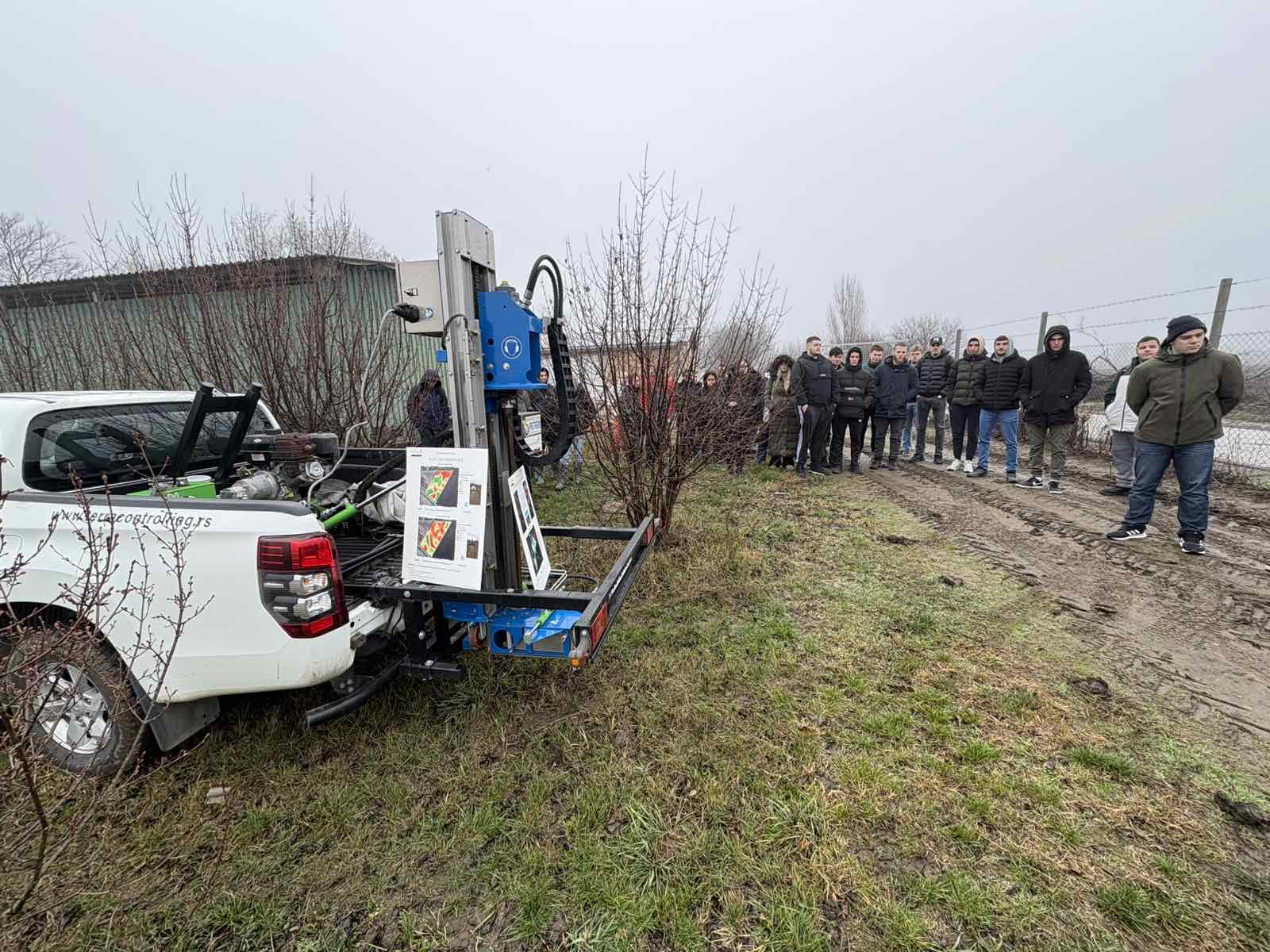
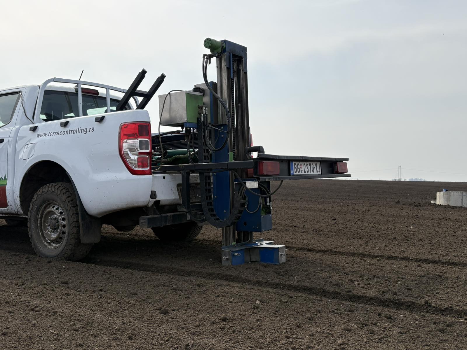
In December 2025, Terra TMD organized a dissemination event for students from the Faculty of Agriculture at the University of Novi Sad. Participants learned about both manual and automated soil sampling techniques and explored how SQAT technologies can support future precision agriculture, particularly in orchards and difficult-to-access areas.
The project’s methodology has also been validated through a peer-reviewed scientific publication, demonstrating that integrating Copernicus satellite data with field measurements produces reliable and agronomically meaningful management zones.
Together, these activities represent an important step toward SQAT’s vision of automated, data-driven soil assessment that enables farmers to make smarter, more sustainable management decisions.